How Far Is Red Rock Canyon From The Las Vegas Strip?
Closer than most first-time visitors expect: about 17 to 20 miles, a straightforward 25 to 35 minute drive along Charleston Boulevard and State Route 159.
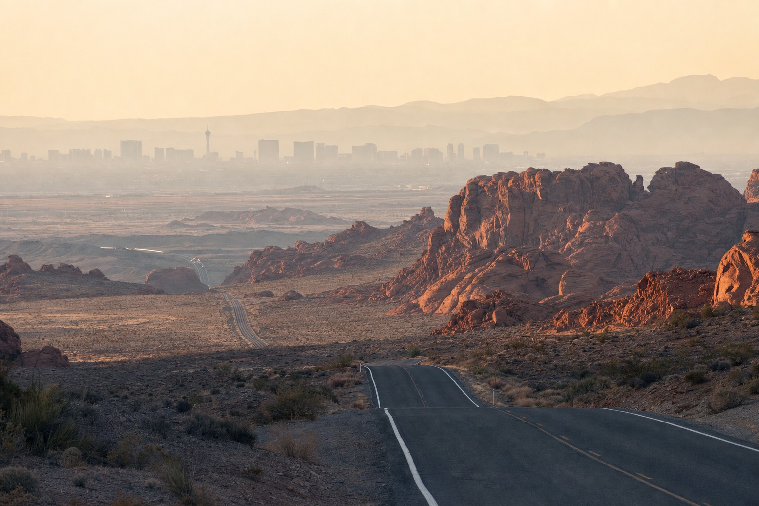
Closer than most first-time visitors expect. Red Rock Canyon sits about 17 to 20 miles west of the Las Vegas Strip, a straightforward 25 to 35 minute drive along Charleston Boulevard and State Route 159.
Planning a guided outing? Let a guide drive the Scenic Loop, with Visitor Center and Calico Hills stops.
Explore Red Rock Canyon Scenic TourRed Rock Canyon is roughly 17-20 miles from the Las Vegas Strip, about a 25-35 minute drive by car, making it one of the most accessible desert landscapes to any major international airport in the American Southwest, since Harry Reid International Airport sits only about 25 miles from the canyon entrance. Traffic on the Strip itself can add to that time, especially at peak hours.
Does Traffic Change The Drive Time Much?
Yes, at the margins. Leaving from a Strip hotel during a busy check-out window or rush hour can stretch a 25-minute drive closer to 40, mostly from getting off the Strip itself rather than anything on the route to the canyon. Early morning departures avoid most of this.
How Does The Airport Factor In?
Harry Reid International Airport sits about 25 miles from the canyon entrance, which is part of why Red Rock Canyon shows up on so many layover and pre-flight itineraries. It is genuinely one of the more accessible major desert landscapes to any international airport in the region, part of the roughly 197,000-acre conservation area Congress designated in 1990.
Do You Need A Car To Get There?
Not necessarily. A guided tour with hotel pickup removes the need to rent a car, navigate SR-159 yourself, or find parking, which matters for visitors without a car in a city built around walking the Strip. The guided scooter tour, like several of the site's tours, includes pickup from select Strip hotels.
If you would rather drive yourself once you get there, our guided Red Rock Canyon tours and the self-drive options covered in our Scenic Drive guide both start from the same short trip out of the city.
How Does The Distance Compare To Valley Of Fire?
Red Rock Canyon's 17-20 mile distance is considerably shorter than Valley of Fire State Park's roughly 50 miles from the Strip, a genuinely different order of trip. Our Red Rock Canyon versus Valley of Fire comparison breaks down which one fits a tighter schedule, and BLM's own visitor planning page has the current details for Red Rock Canyon itself.
What's The Actual Route From The Strip?
The most direct route runs west along Charleston Boulevard, which becomes State Route 159, straight to the Red Rock Canyon Visitor Center and the start of the Scenic Drive. It is a single, easy-to-follow road for almost the entire trip, with no confusing highway changes.
There is no dedicated public transit route built specifically for park visitors, which is one reason a guided tour with hotel pickup or a rental car covers most independent visits. A rideshare is also workable for a one-way drop-off, though most rideshare drivers will not wait around for a multi-hour visit, so factor a return trip into the plan if you go that route.
Does The Short Distance Mean It's An Easy Add-On To Any Las Vegas Itinerary?
For most travelers, yes. A trip this short can slot into a single morning or afternoon without reshuffling an entire Las Vegas itinerary, which is part of why it shows up on so many "what else to do in Vegas" lists. The main planning item is simply deciding between driving yourself and booking a guided pickup, covered above.