Best Hikes In Red Rock Canyon: Complete Trail Guide
The parking lot at Sandstone Quarry fills early on a clear Saturday, and by nine the trail up to Calico Tanks already has a steady line of hikers picking a path over pink and cream sandstone. Red Rock Canyon has dozens of named trails, but three of them do most of the work for a one-day visitor.
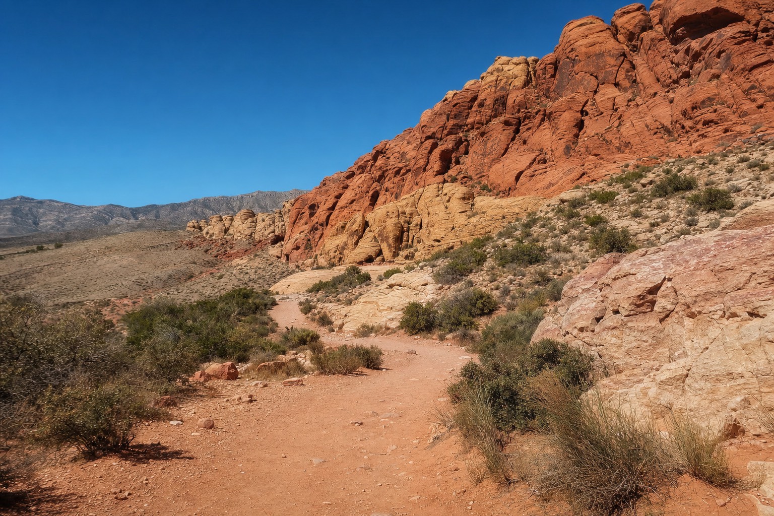
The parking lot at Sandstone Quarry fills early on a clear Saturday, and by nine the trail up to Calico Tanks already has a steady line of hikers picking a path over pink and cream sandstone. Red Rock Canyon National Conservation Area covers close to 200,000 acres and carries dozens of named trails, but three of them do almost all the work for a visitor with a single day to spend: Calico Tanks, Icebox Canyon, and Turtlehead Peak. Between them they span the full range, from a comfortable ninety minutes to a genuine mountain scramble, and picking the right one mostly comes down to how much climbing you actually want to do.
Planning a guided outing? Explore Red Rock on foot with a guide, trail snacks and hotel transfers.
Explore Red Rock Canyon Guided HikeLatest dataThe three main trails, round trip distance and difficulty
Distances are round-trip figures compiled from trail-specific sources; elevation gain is stated only where a reliable figure exists. Treat both as planning ranges, not exact measurements.
Which Hike Should You Choose First?
For a first visit, Calico Tanks is the trail most guides recommend: a 2.2 to 2.5 mile round trip with roughly 400 feet of elevation gain, rated moderate rather than strenuous, ending at a natural rock basin with a real canyon view. Turtlehead Peak and Icebox Canyon are both harder and suit a second trip or a fitter hiker better. All three start from the same corner of the park, which is part of why visitors compare them so often.
| Trail | Round trip | Elevation gain | Difficulty | Starts at |
|---|---|---|---|---|
| Calico Tanks | ~2.2-2.5 miles | ~400-420 ft | Moderate | Sandstone Quarry |
| Icebox Canyon | ~2.2-2.6 miles | Modest, steepest near the finish | Moderate, technical finish | Icebox Canyon trailhead, off the Scenic Drive |
| Turtlehead Peak | ~4.6 miles | ~1,988 ft | Strenuous | Sandstone Quarry |
What Is The Calico Tanks Trail Actually Like?
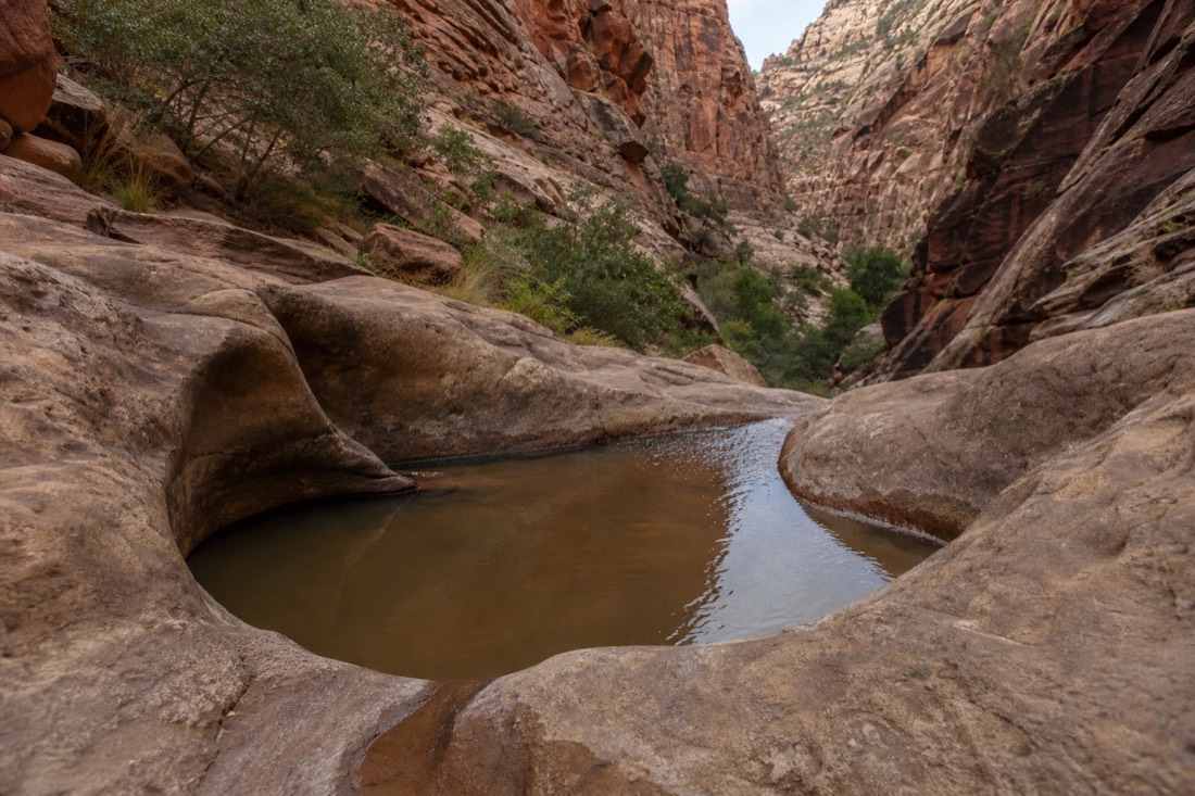
Calico Tanks climbs gradually from the Sandstone Quarry trailhead across slickrock and desert scrub to a smooth natural basin that holds rainwater for weeks after a storm, with a wide view back over the Calico Hills at the top. The trail earns its popularity honestly: the payoff is real, and reaching it does not demand technical skill, just steady footing on bare rock in the final stretch.
Budget around two hours for the round trip at a relaxed pace, more if you stop often for photos. The last quarter mile is the only part that asks anything of you: a short scramble over smooth sandstone with a bit of exposure on one side, manageable for most hikers but worth caring about if you are unsteady on rock. Some of the sandstone was cut for building material long ago near the trailhead, at the historic Sandstone Quarry site, and interpretive panels there explain what the huge, squared-off blocks along the path once were.
How Hard Is Turtlehead Peak?
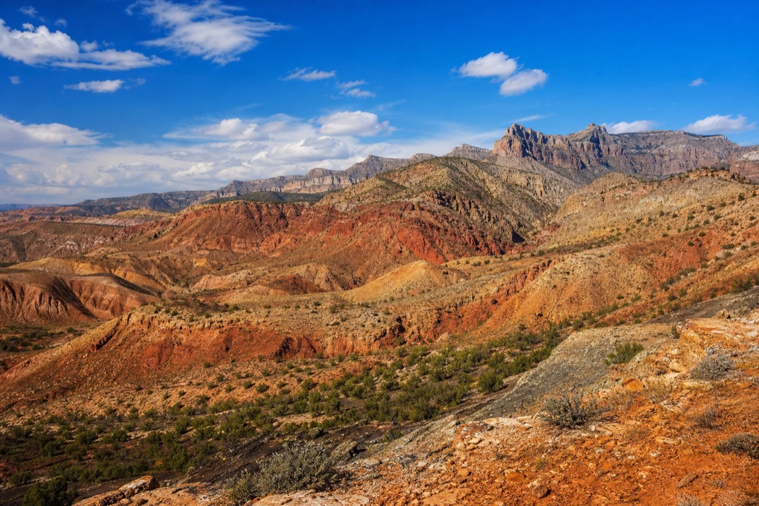
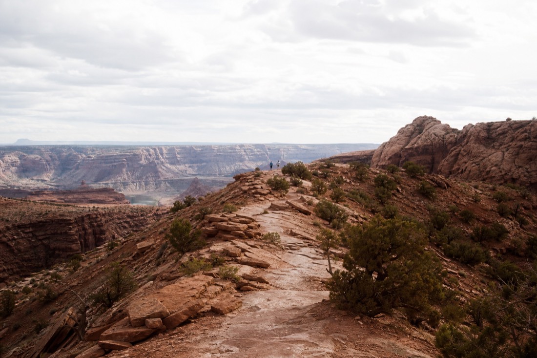
Turtlehead Peak is a genuinely strenuous 4.6-mile round trip with about 1,988 feet of elevation gain, sharing its first half mile with Calico Tanks before forking off toward a rocky summit plateau. Nearly all the climbing happens in the second half, on loose gravel and larger rock that gets steeper the higher you go. This is the hike to skip if you are not confident on uneven terrain or short on water.
Past the fork, trail markers thin out into painted red and white dots on the rock rather than signposts, and it is easy to lose the line if you are not watching for them. There is almost no shade on the way up, so the summit plateau, ten to fifteen degrees cooler than the trailhead, feels like a real reward once you get there. Carry at least two liters of water per person and start early: the exposed upper slope in full midday sun is where most people who regret the trail start to regret it.
Turtlehead Peak has no railings, no shade above the halfway point, and route markers that are easy to miss. It is not the trail to attempt in sandals, in the hottest part of a summer day, or without water. If any of that sounds like your plan, Calico Tanks gets you most of the same scenery for a fraction of the effort.
What About Icebox Canyon?
Icebox Canyon is a shaded, roughly 2.2 to 2.6 mile round trip that stays cooler than the open-desert trails because it runs between tall canyon walls, ending in a boulder-hopping scramble toward a seasonal dry waterfall that marks the natural turnaround point. The elevation gain is modest for most of the walk, with the technical part concentrated in the final stretch.
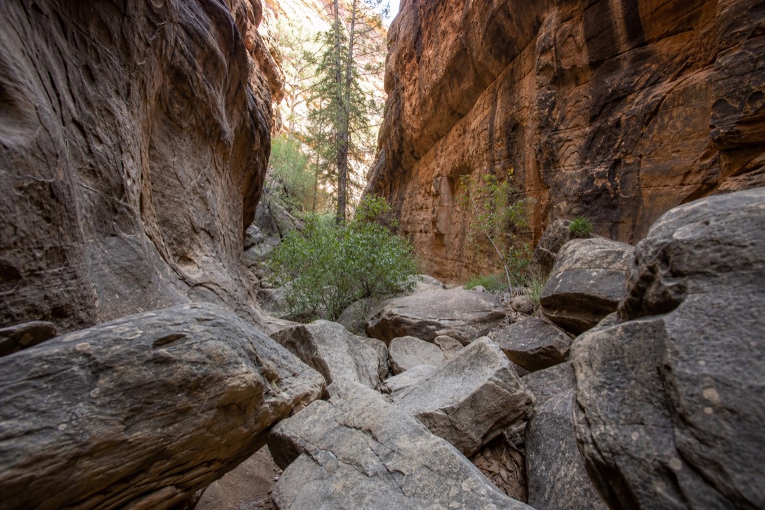
Because the canyon walls block direct sun for much of the day, this is a good choice when the other two trails feel too exposed, especially outside the cooler months. The trade-off is footing: the last section asks you to pick a path across large, uneven boulders, which takes longer than the distance alone suggests and is not the place for flip-flops or a stroller.
Difficulty Ladder: Easiest To Hardest
Ranked by the effort involved, Calico Tanks comes first as the moderate, well-trodden option, Icebox Canyon sits in the middle for its technical but short finish, and Turtlehead Peak is clearly the hardest of the three. Matching the trail to your own fitness and footwear matters more here than it does on a flat city trail, because help is a long walk away if something goes wrong.
| Rank | Trail | Why it sits here | Who should pick it |
|---|---|---|---|
| 1 (easiest) | Calico Tanks | Gradual climb, short scramble only at the very end | First-timers, families with older kids, casual hikers |
| 2 | Icebox Canyon | Shaded and mild until a boulder-hopping finish | Hikers comfortable scrambling, those avoiding full sun |
| 3 (hardest) | Turtlehead Peak | Nearly 2,000 ft of gain, thin markers, no shade | Fit, experienced hikers with plenty of water |
Do You Need A Reservation Or Permit To Hike These Trails?
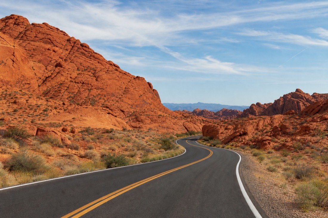
The trails themselves need no separate permit, but reaching most trailheads means driving the 13-mile Scenic Drive, and vehicle entry to the Scenic Drive requires a timed-entry reservation from October 1 through May 31 for arrivals between 8am and 5pm. Outside that window, from June through September, no timed entry is required.
The reservation is a one-hour arrival window, not a time limit on your visit, so once you are in you can hike as long as you like. The full booking process, current fees, and how day passes compare with an annual pass are covered in our timed-entry and reservations guide, which is worth reading before you fix a hiking date between fall and spring.
Best Time Of Day And Season To Hike
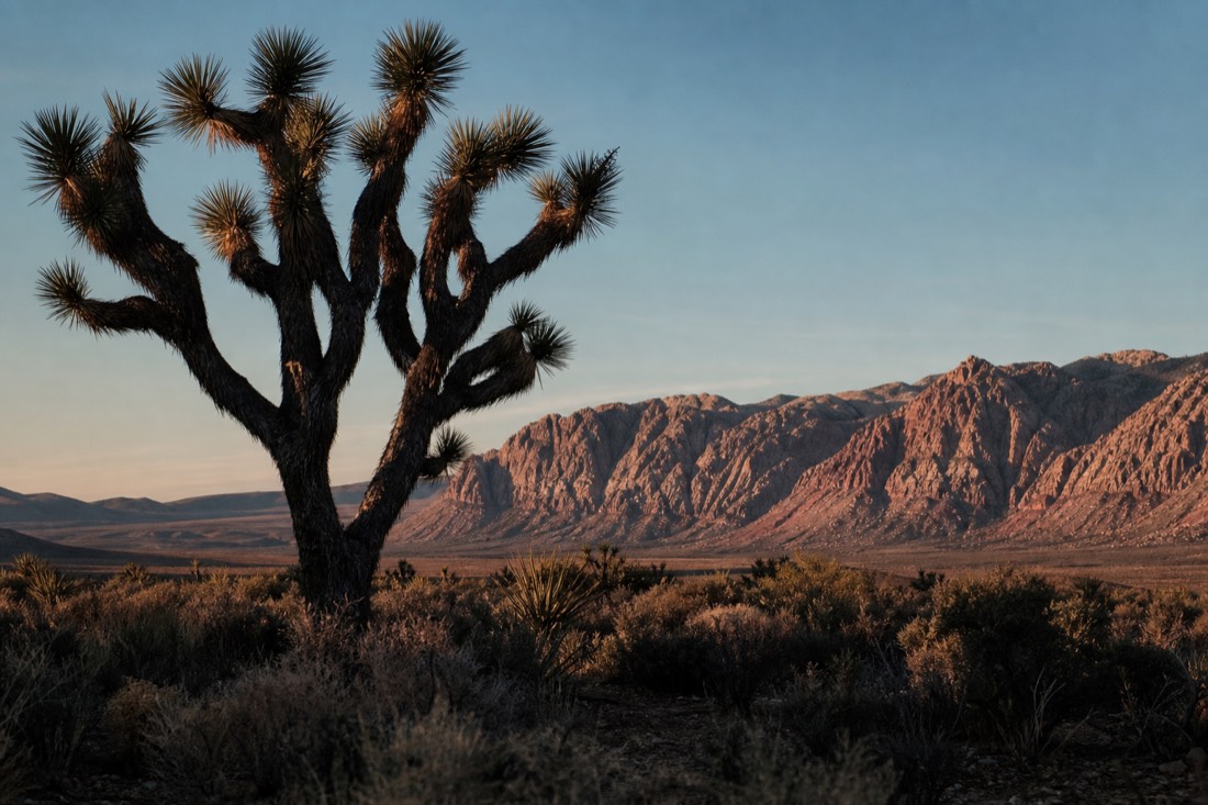
Early morning is the right call on every one of these trails, every month of the year, because the exposed sections heat up fast and the parking lots fill by mid-morning on weekends. Spring and fall bring the most comfortable air temperatures overall. Summer hiking is still possible if you start at first light and finish before the heat peaks.
| Season | Hiking conditions | Recommended start |
|---|---|---|
| Spring (Mar-May) | Comfortable, warming through the season | Morning, more flexible later in the day |
| Summer (Jun-Aug) | Hot, avg. highs in the mid-90s and above 100°F in heat waves | At or before sunrise, off the trail by mid-morning |
| Fall (Sep-Nov) | Comfortable, 70s to mid-80s | Morning is still best, more forgiving overall |
| Winter (Dec-Feb) | Cool, occasional cold mornings | Mid-morning to early afternoon |
Our guide to the best time to visit Red Rock Canyon breaks the whole year down month by month if you are planning further ahead than the next hiking trip. Official summer guidance from Red Rock Canyon's own heat-safety page is worth reading before any hike between June and September.
What To Bring On Any Of These Trails
None of the three trails has water, shade the whole way, or cell signal you can rely on, so what you carry matters more than it would on a park with visitor amenities along the route. The list below is a planning allowance, not a guarantee that conditions will match it exactly.
- At least 1 liter of water per person for Calico Tanks or Icebox Canyon, 2+ liters for Turtlehead Peak.
- Closed-toe shoes with real tread. Sandals do not work on the scrambling sections.
- Sun protection: hat, sunglasses, sunscreen, since shade is limited to none on most of these trails.
- A paper map or downloaded offline map. Cell coverage inside the park is unreliable.
- A start time you can commit to. Turning back is always an option; running out of daylight or water is not.
Which Hike Fits Which Visitor?
| You are... | Best trail | Why |
|---|---|---|
| New to Red Rock, want a quick win | Calico Tanks | Real payoff, moderate effort, well-marked |
| Looking for shade and a bit of scrambling | Icebox Canyon | Canyon walls cut the sun, short technical finish |
| A fit hiker after a longer day out | Turtlehead Peak | Real elevation gain, a genuine summit |
| Traveling with young kids or limited mobility | None of the three | All involve scrambling; see the alternatives below |
What If You Want More Than A Trail, Not Less?
Hikers who want a bigger physical challenge than any of these three trails sometimes move on to climbing instead. Red Rock Canyon is a genuine sandstone climbing destination, and our beginner's guide to rock climbing and bouldering covers where to start, separate from anything sold as a guided tour here.
What If Hiking Isn't For You?
Not everyone wants to scramble over sandstone in the heat, and Red Rock Canyon still has plenty to offer without it. A guided eBike tour or a self-drive GoCar cover the same 13-mile loop that these trailheads sit along, with far less physical effort.
The eBike scenic loop tour uses motor assistance to flatten the hills, so riders see the same Calico Hills scenery the hikers do, minus the climb. If four wheels suit you better, the self-drive GoCar tour puts you behind the wheel of a small GPS-narrated car with a fixed route and stops built in, no hiking boots required. Either way, our guided Red Rock Canyon tours are built around people who want the views without the elevation gain. If you are still deciding whether the trip is worth it at all, see our take on whether Red Rock Canyon is worth visiting.